 Whale Wise
 Scars from above

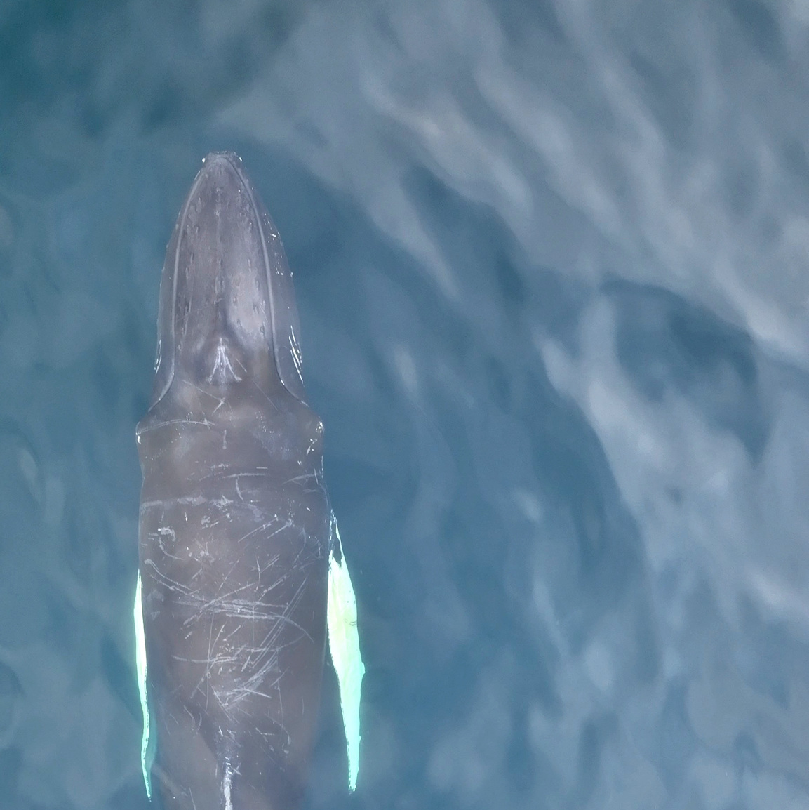
Using drones to understand the impact of entanglement in fishing gear on humpback whales
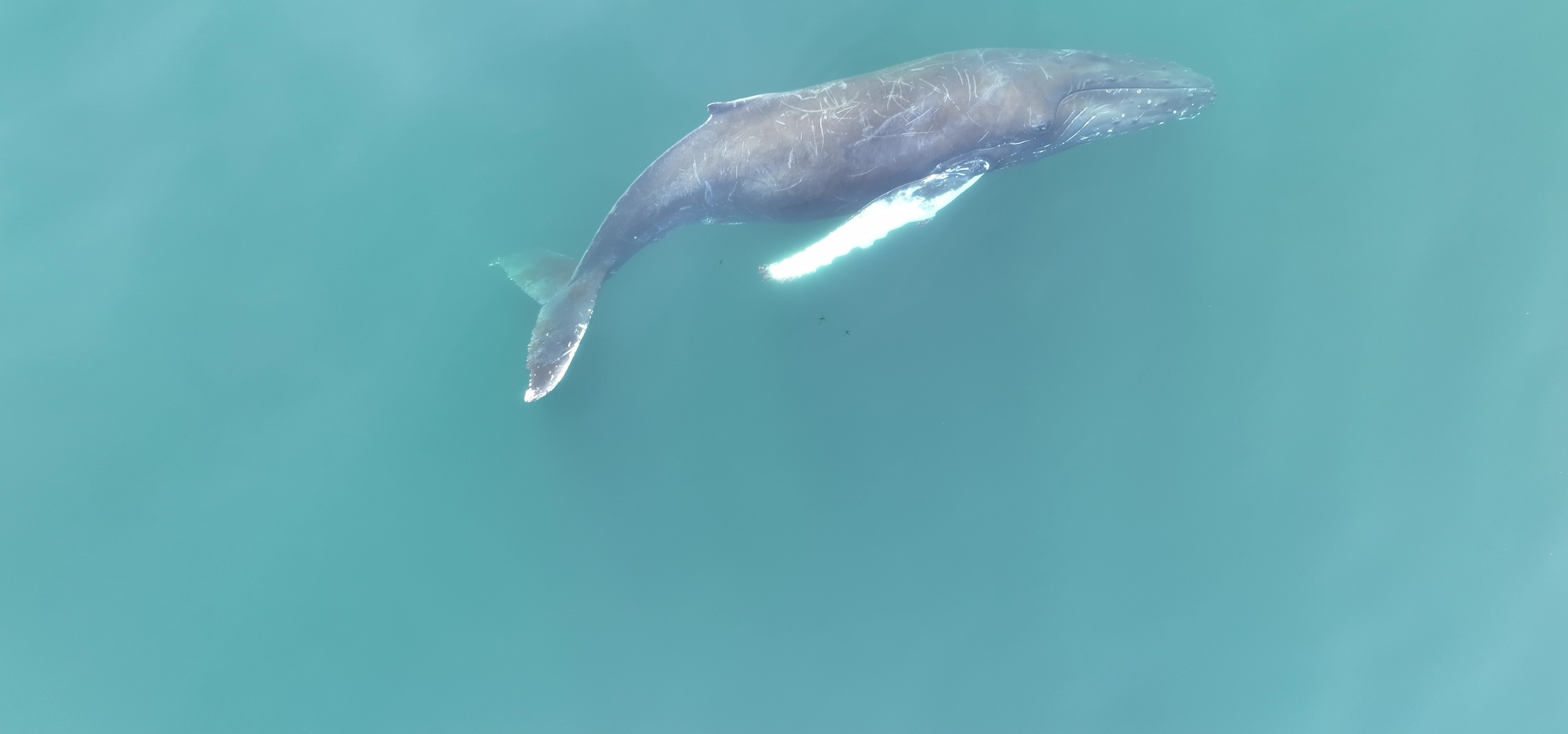
Entanglement in fishing gear is a major population threat to baleen whales worldwide. However, key knowledge gaps still exist, regarding population exposure to entanglement and the hidden health impacts of entanglement for those whales that do survive. We are filling these gaps with drones, collecting aerial images of humpback whales in the Icelandic Westfjords to assess scars from above and determine the impact of entanglement on whale health. This project is in collaboration with the University of Iceland and Láki Tours.
Background
Entanglement in fishing gear is possibly the greatest contemporary threat to humpback whale populations worldwide. Fishing lines and nets floating in the water column – whether they are being actively used or have been discarded – can wrap around a whale’s body, hindering swimming and critical activities such as feeding. Ultimately, this can result in death due to drowning or starvation. Entanglement also has severe welfare impacts; a single whale can remain tangled in fishing gear for years at a time. For humpback whales that survive entanglement, scars wrapping around body parts are a clear sign of their difficult past.


Despite the severity of this threat, key knowledge gaps still remain. For humpback whales, entanglement rates are typically determined by examining scars on living animals, but the photos used for this purpose are typically taken from boats and only show a small proportion of the animal’s body surface. In other words, published rates of entanglement may underestimate the scale of the problem. We also don’t yet know the full scale of entanglement impacts at a population level. Entanglement can lead to high mortality rates, but for the animals that survive, little is known about the lasting impacts on health and fitness.
Aims
Scars from Above aims to address these knowledge gaps. Specifically, we have three research questions.
- Can we use drones to provide further information about entanglement rates in humpback whales?
- Do entanglement rates differ between age classes (e.g., juvenile, sub-adult, adult)?
- Does past entanglement compromise the health or body condition of whales that survive?

Project details
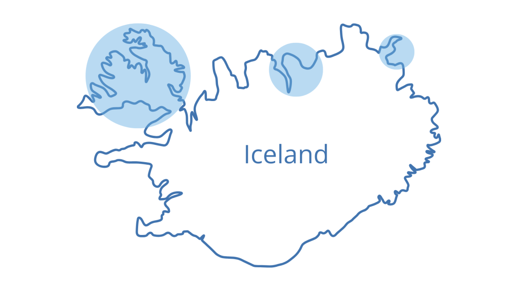
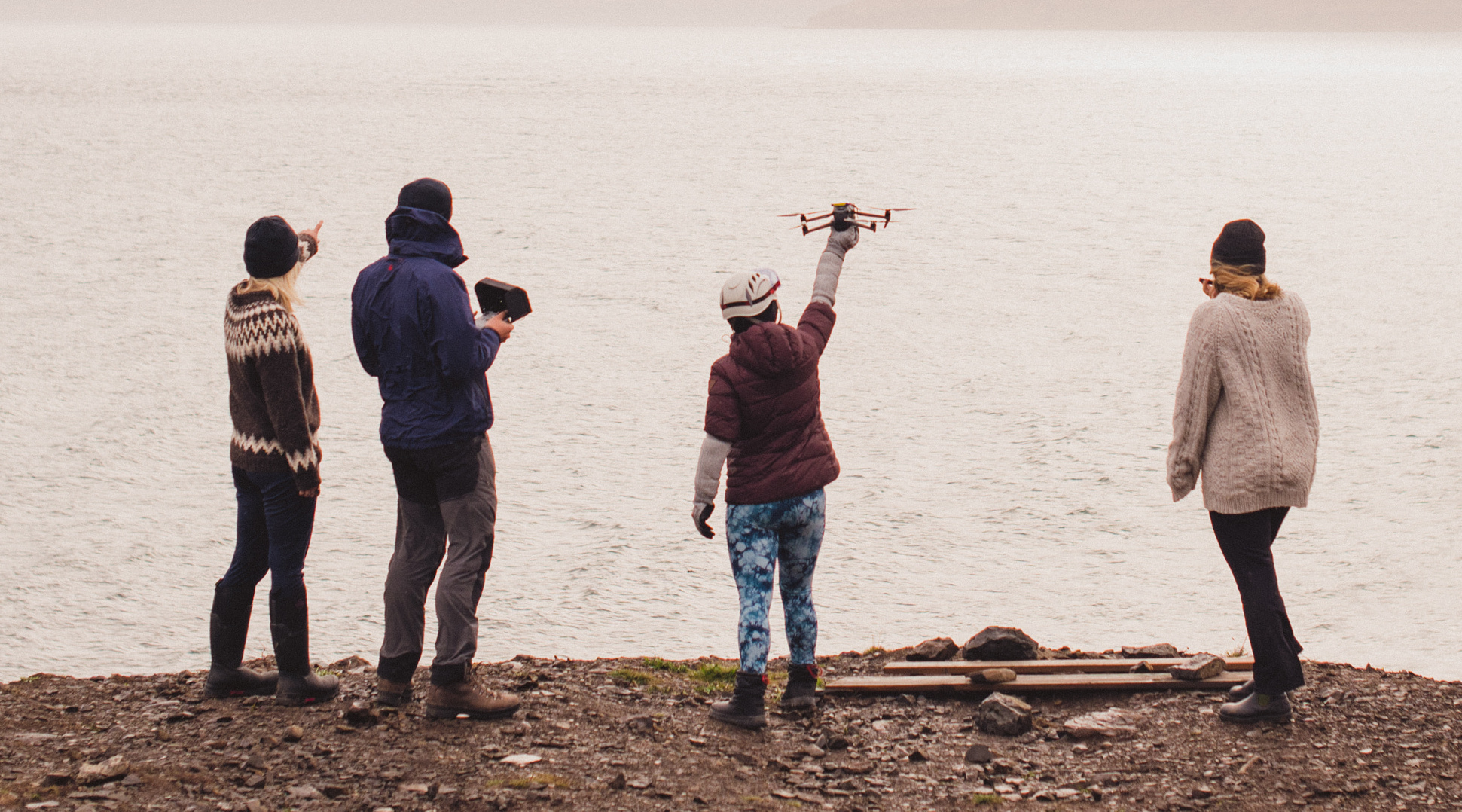
We are using DJI Mavic 3 drones to collect aerial images of humpback whales, with an attached laser altimeter system (LiDAR) to measure whale length and body condition. Specifically, we are using the WHASER LiDAR designed by Tandem Ventures. We are primarily working in the Westfjords, northwest Iceland. Humpback whales feed in deep fjords throughout summer and autumn, allowing us to collect most of our aerial data from land. This reduces cost, carbon footprint and possible vessel disturbance to the whales. Our field base is the small village of Drangsnes, next to the fjord of Steingrímsfjörður.
This project involves several institutions. To assess the suitability of aerial images for scar analysis, we are comparing aerial images from the drone with photos of the same whales taken from a boat, provided by Judith Scott, a whale-watching guide with Láki Tours. Meanwhile, Dr Charla Basran from the University of Iceland’s Research Centre Húsavík is supervising this project, while Maria Glarou, a PhD student from the research centre, is providing additional humpback whale aerial images from Skjálfandi Bay, northeast Iceland. Finally, in 2023 we collaborated with Arvik Ocean, using their sailing boat as an unobtrusive research platform to collect aerial images and boat-based photos farther offshore.


Once we have collected and analysed our data, we intend to share our results through scientific publications and provide policy recommendations to the appropriate regional management bodies.
Fieldwork for the project has been funded in several ways, including a Crowdfunder launched in 2022, with the generous support of Chris Packham, and private donations. Whale Wise or individual team members have also received grants from the Scottish Arctic Club, Linnaean Society, Erasmus (traineeship) and Explorers Club (Expedition Grant). A huge thank you to everyone who has made this project possible so far.

Project updates
We have completed three seasons of data collection for the Scars from Above project! We collected images from 91 whales in 2022, 130 whales in 2023 and 150 whales in 2024. We have boat-based images for the majority of these whales thanks to our collaborators. Most of these images were collected from land but, in July–August 2023, we joined Arvik Ocean to operate the drone farther offshore in Ísafjarðardjúp.
Our main focus is now on data processing and analysis. The team will work together to sort aerial images, conduct photo-identification, analyse scars and measure body condition. These pieces of information will be used to answer our primary research questions. Stay tuned!