Diatoms

Can we use humpback whale flukes to monitor environmental change?
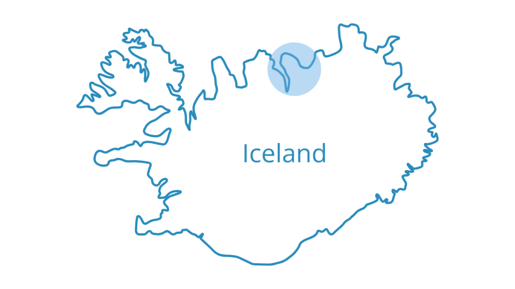
Consistently monitoring the marine environment is challenging, especially in high-latitude regions such as the sub-Arctic waters of North Iceland. To improve our understanding of ecosystem processes in a cost-effective way, we are testing the use of an unexpected monitoring tool – the underside of humpback whale flukes – to track local changes in primary production (phytoplankton). This project is in collaboration with the University of Iceland.
Background
Diatoms are single-celled algae and the dominant phytoplankton group in high latitudes, representing a primary basis for food webs and life in the global ocean. Proliferating in the sunlit upper layers of the water column, the concentration of diatoms and other phytoplankton groups can be used as a measure of primary production in aquatic environments. Plankton concentration is often measured using satellite sensors on a global scale.
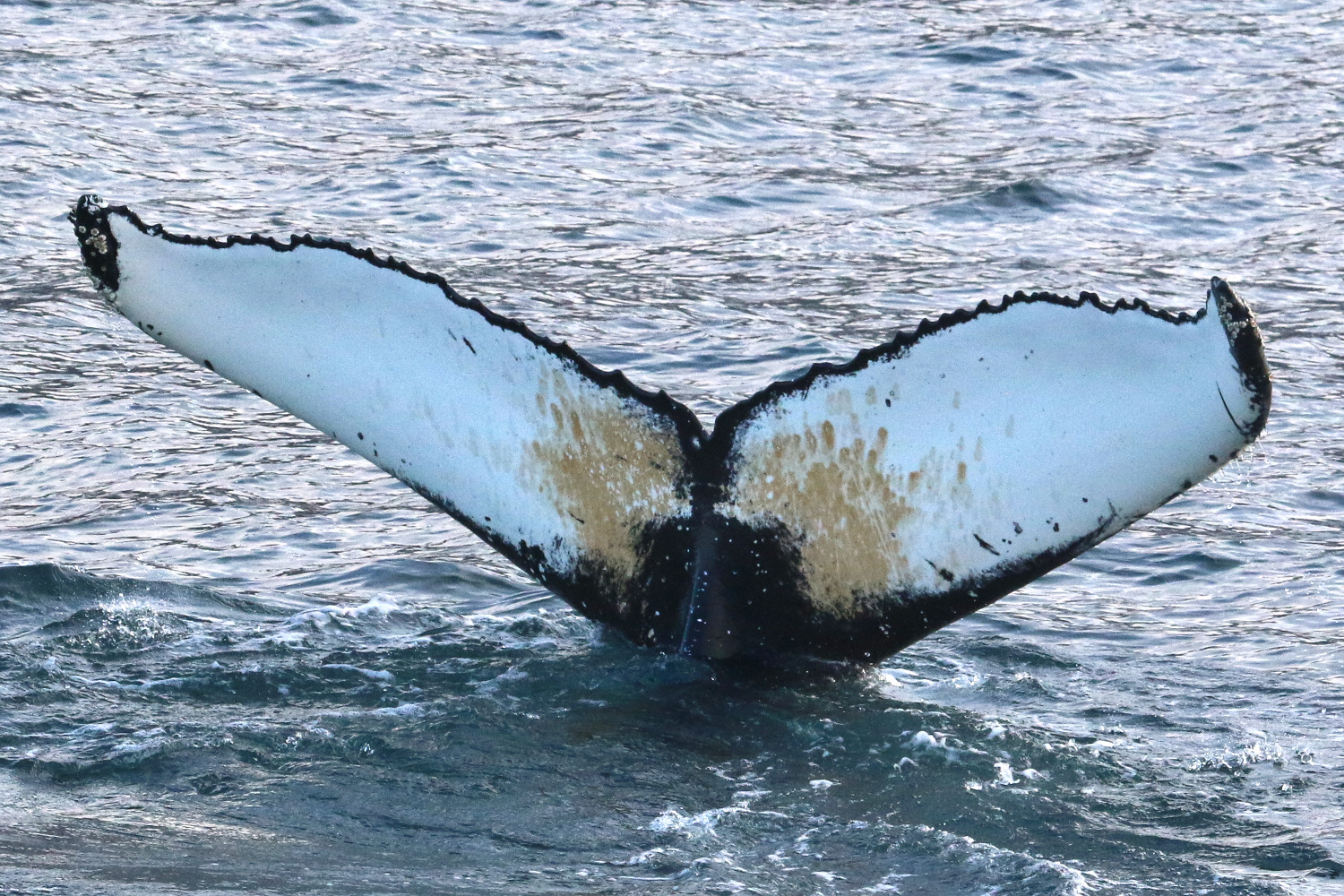

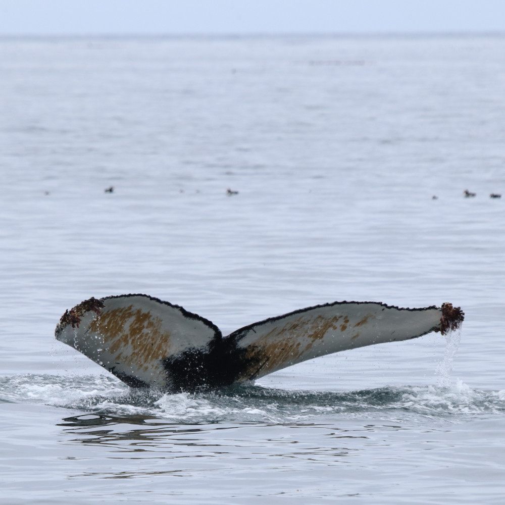
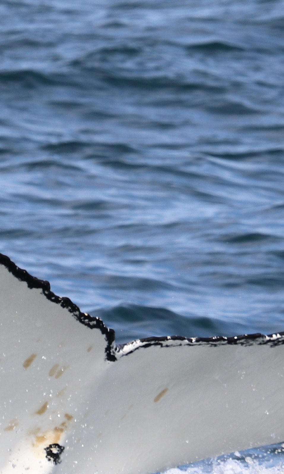
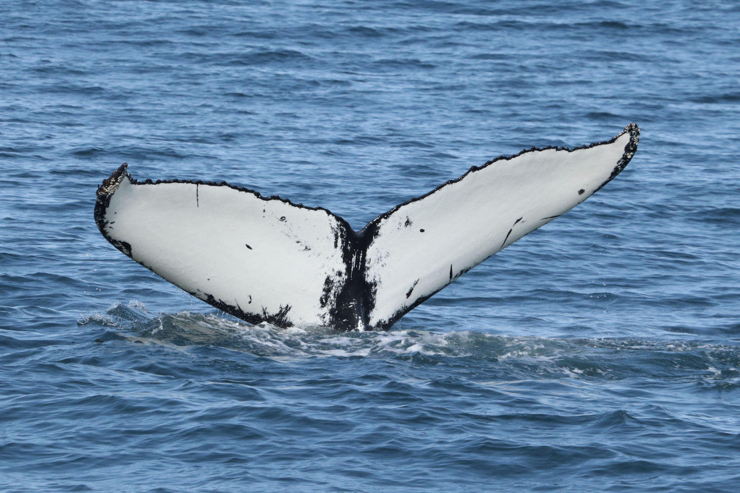
Whilst diatoms primarily exist in the water column, some attach to surfaces such as whale skin! For humpback whales, diatoms can accumulate on the underside of their flukes, giving them an orange/yellow colouration. The observation of diatoms in our fluke images led us to ask: could we extract useful information from patterns in diatom coverage across space and time? For example, if diatom coverage was higher in one year than the other, what could this tell us about annual variation in ecosystem productivity? This could be especially important in areas such as Iceland, where its high latitude and frequent cloud cover limit the scope of satellite monitoring.
Aims
To assess the utility of diatom fluke coverage for environmental monitoring, we aim to:
- Develop a reliable method for assessing the extent and intensity of diatom coverage
- Relate diatom coverage to existing environmental data such as chlorophyll concentration

Project details
We are using photo-identification data from Skjálfandi Bay, northeast Iceland. Each year between 2018 and 2021, we collected fluke images of humpback whales from North Sailing whale-watching vessels for photo-identification purposes, in collaboration with the University of Iceland. These images were used to develop sighting histories for each animal and a master catalogue covering all survey seasons.
To date, we have developed a method for manually grading images and assessing both diatom coverage (in terms of intensity and extent) and the number of barnacles on whale flukes. This method was tested by five members of the team, using images from all survey years, to assess reliability and develop the most efficient process possible. This methodology was presented at the 2021 Society of Marine Mammalogy Conference (Florida, USA).

Next, we are relating measured diatom coverage to chlorophyll concentration in the bay and surrounding areas, measured by satellite sensors, to determine the predictive power of this approach for reliable environmental monitoring during time periods when remotely sensed environmental data are not available.
Project updates
We are currently in the process of relating our diatom coverage data sets to remotely sensed environmental data. Stay tuned for more updates!